

Monument zone Stankovany settlement Podšip:
It is located near the village of Stankovany and the National Nature Reserve - Šíp , whose territory is notable for its well-preserved vegetation gradient, rare species of plants and protected animals. The original rural area of Podšíp has preserved its landscape and architectural appearance until the present day and is classified as a monument zone due to its social significance. It is located near the village of Stankovany, which was founded at the end of the 14th century. It is named after the hereditary mayor Stanek. The settlements of Podšíp and Fedorov were probably created by resettlement during the Turkish raids. Available sources state that the settlement of Podšíp is mentioned in 1808, similarly to the settlement of Fedorov, which is also located near the village of Stankovany.
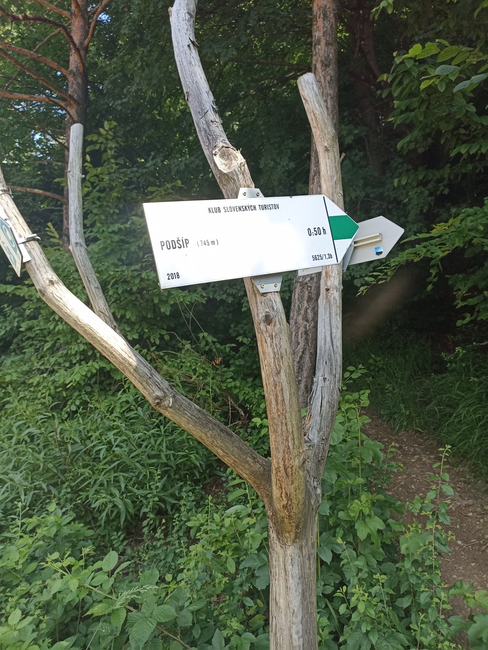
According to historical records, the settlement had six houses and thirty-eight inhabitants in 1828 . The surrounding areas and villages belonged to the Likava , and their cultural character was strongly influenced by plant and animal production. The peasant economy determined the functional forms of houses and farm buildings. Sheep farming, fishing, and preparation of wood for sawmills were widespread in the vicinity of Stankovie. Crafts such as basketry, weaving, rafting were developed. The cultivation of hemp, which was used to make clothes, was widespread. The settlement of Podšíp was economically intensively used for logging, mowing, and grazing until the 1970s. Due to its geographical location, the settlement of Podšíp was not damaged by natural disasters and fires in the past, which affected some nearby settlements in the last century (in the village of Stankovany, a fire destroyed around fifty houses in 1950). The settlement was inhabited by eight to ten households. Eleven people crowded into a small residential building with one room and a kitchen. If you decide to visit this place where time has stopped, you have the choice of an easier route along the blue marker![]() with a slight climb from Stankovian around the Močiar reserve, which can also be managed on a mountain bike, or a shorter route along the green marker
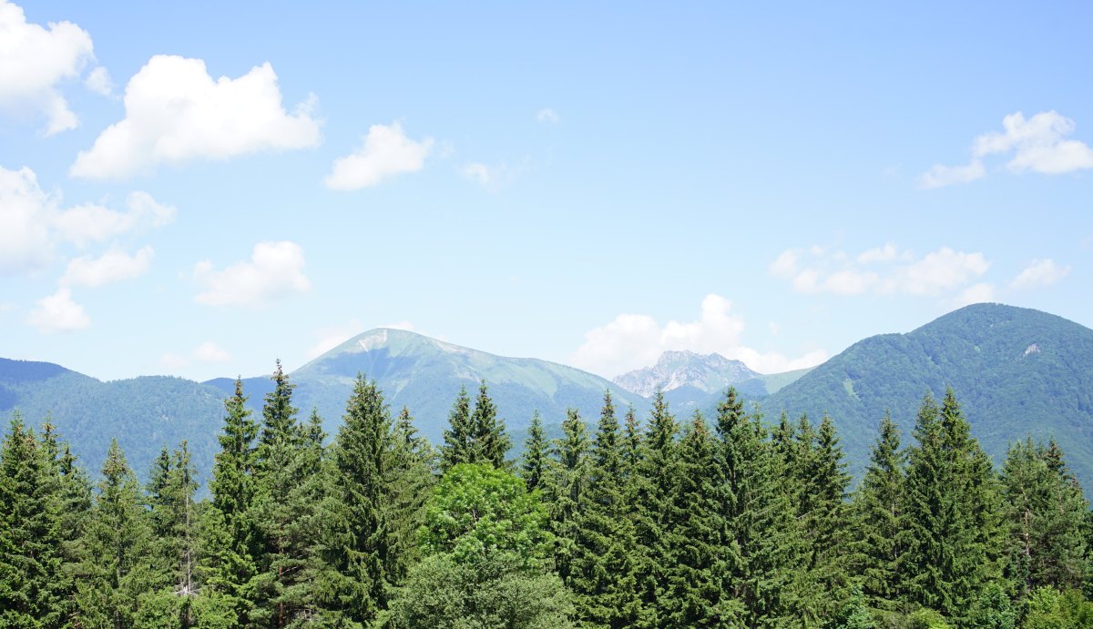
with a slight climb from Stankovian around the Močiar reserve, which can also be managed on a mountain bike, or a shorter route along the green marker![]() , which, however, requires tax by a sharper rise . At the end, after less than an hour, as if by a miracle, the first settler's houses appear with a vast meadow and a view of the distant Rozsutec and Stoh .
, which, however, requires tax by a sharper rise . At the end, after less than an hour, as if by a miracle, the first settler's houses appear with a vast meadow and a view of the distant Rozsutec and Stoh .
sources of information: https://www.pamiatky.sk/Content/PZ_ZASADY/Podsip/0101-Podsip-text.pdf


Hotspots
![]()
| Download route | Info | |
| Route for the Locus map application, Google Earth | .kml | |
| Route for Mapy.cz | .gpx | |