

Through the Turská dolina through Skalka to Martinské hole:
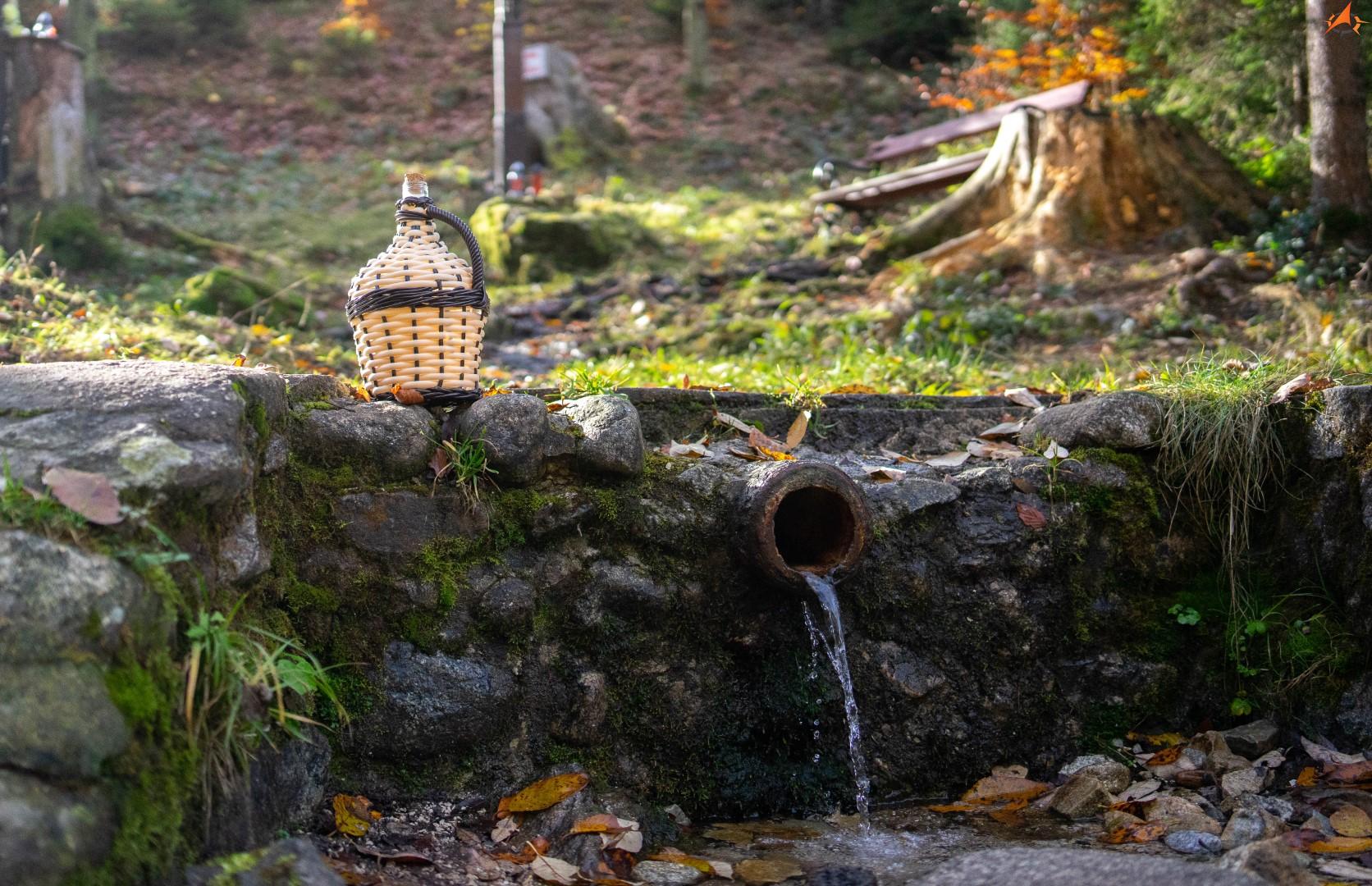
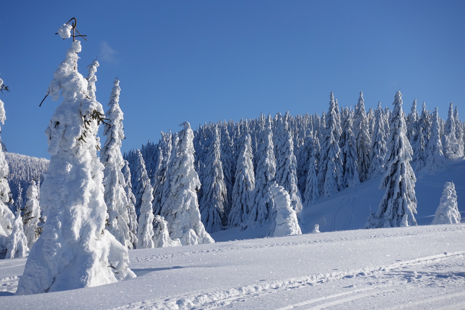
Turská dolina is located near the town of Žilina on the edge of Lúčanská Fatra, behind the village of Turia. The Turian Stream flows through it. The Turská dolina route consists of an asphalt path with a slight incline, which ends at the forester's hut approximately 7 km from its mouth. We can get drinking water . The Turian stream, which borders the path, will accompany us with its sound for most of the way and have a relaxing effect on us. The surrounding nature has a preserved or untouched impression, which is very rare .
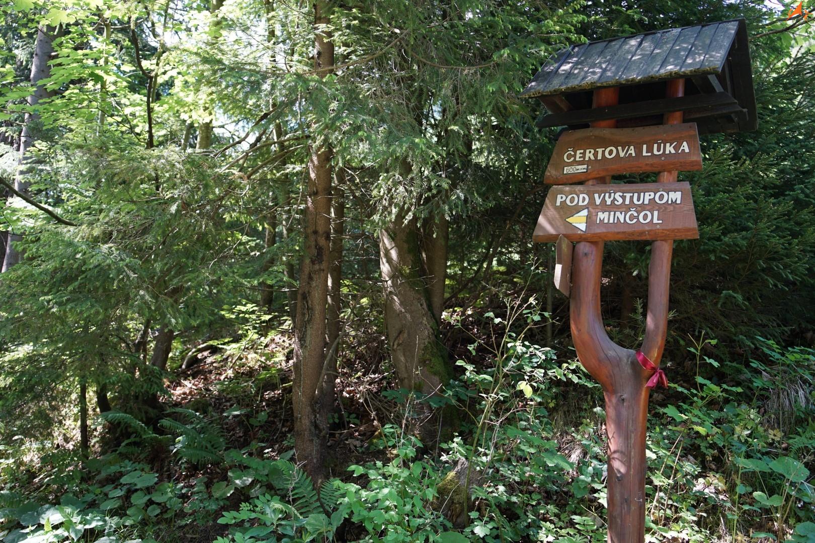
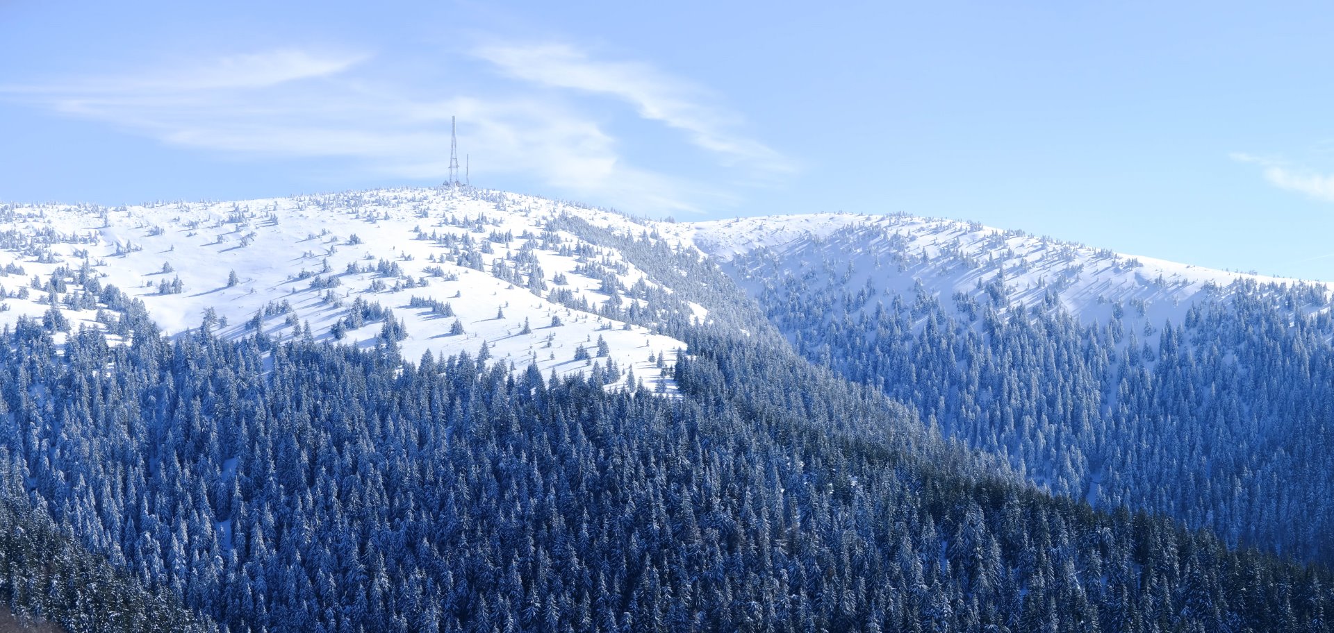
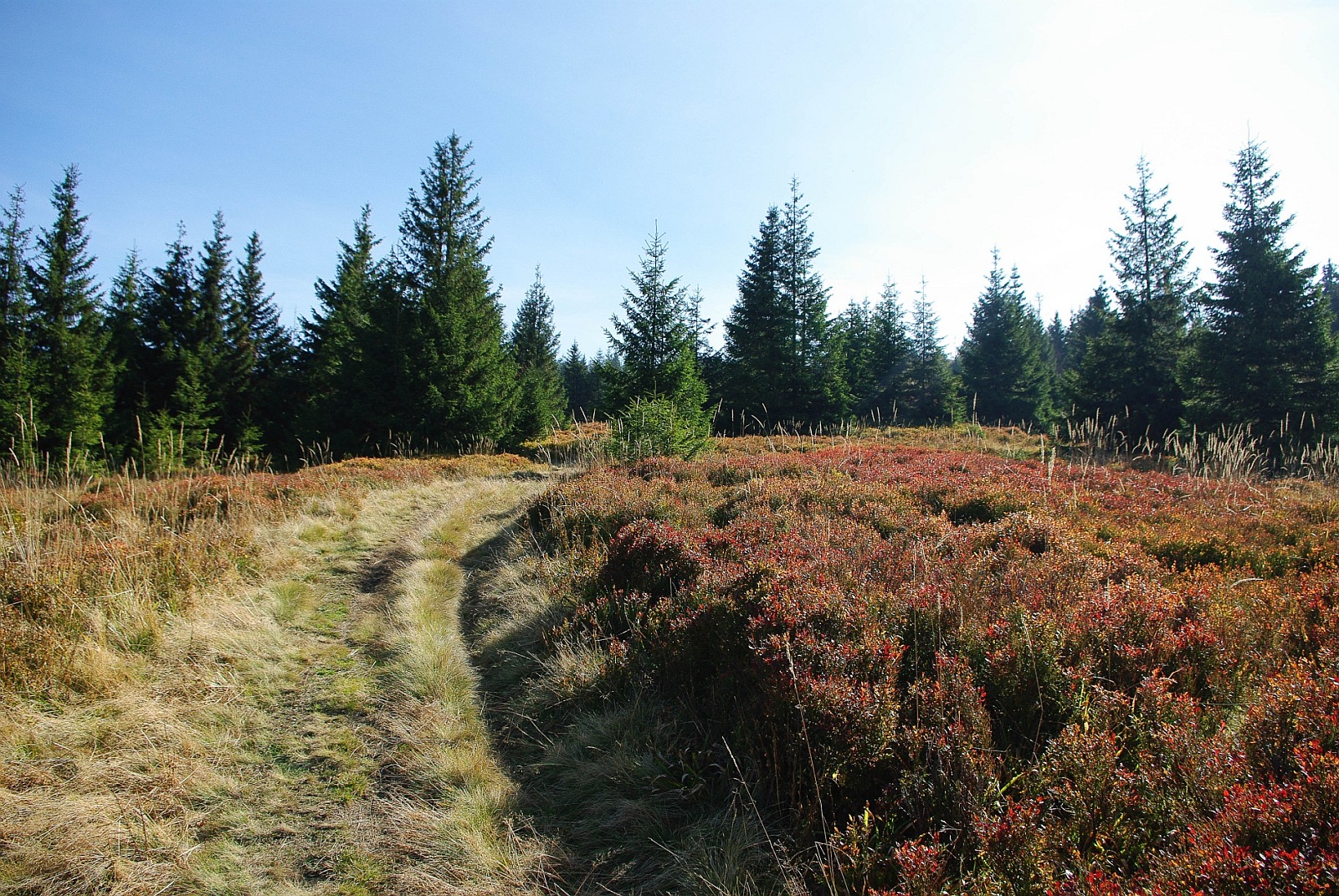
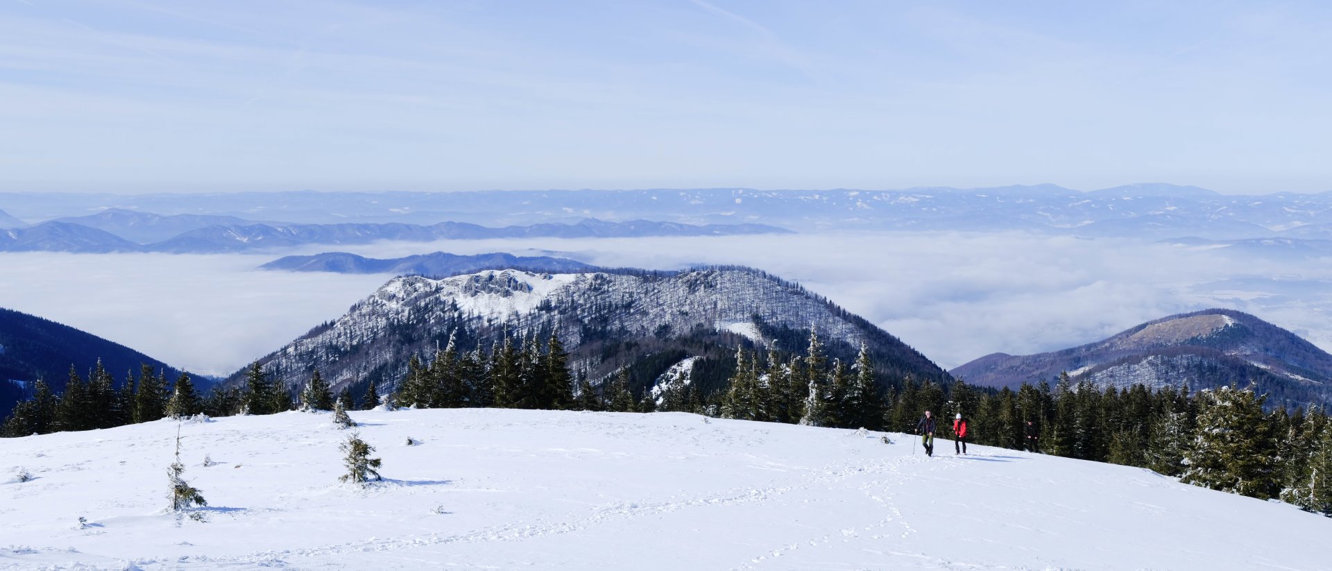
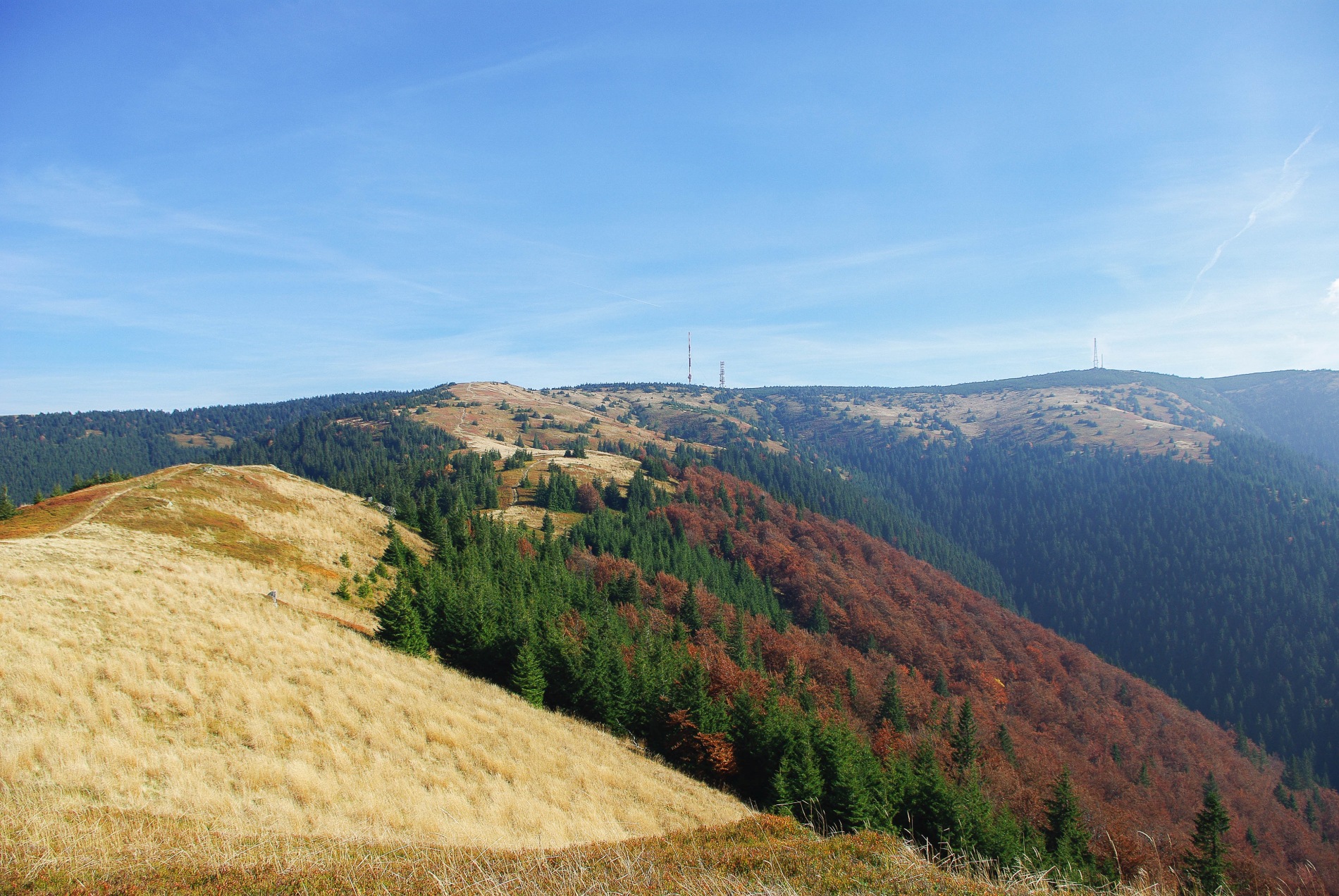
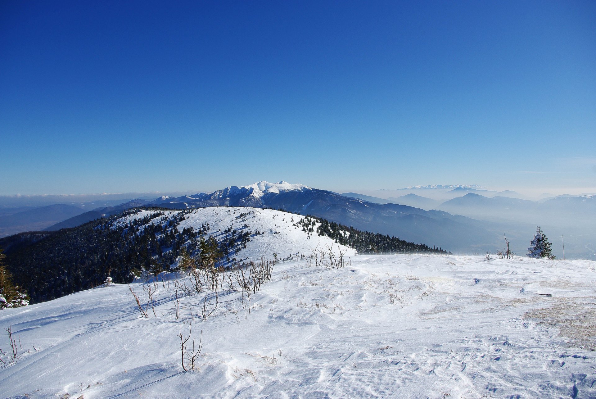
At approximately 1/3 of the way, we can decide whether to turn off with the yellow sign and steeply climb to Minčol hill , or choose a gentle climb and continue along the asphalt path to the end, from where it is only a short distance to Skalka with the surrounding environment of Martinské hóly, a low growth of blueberries and Ihlicňany with a wide view of Kľak or Kozol . In the end, it's just a walk along the wooded ridge to the Krížava transmitter , where we can decide whether to go to the ski resort of Martinské hól for lunch, continue to the Minčol mountain or return back.

Photo gallery:


Map of the Turská dolina location:

Hotspots
![]()
| Download route | Info | |
| Route for the Locus map application | .kml | |
| Route for Mapy.cz | .gpx | |
Infographics - Water cycle on Earth
source of information: AUSTRALIAN MUZEUM, link: https://shorturl.at/wzBDX
Contents:

Contribute to the discussion with your observation, photo of this location: